A picture is worth a thousand words, and aerial photography companies are rewriting the narrative when capturing landscapes from the sky. Specializing in taking high-quality images from above, these companies bring unique perspectives to various industries, using advanced drones and camera equipment to deliver exceptional results.
Whether it’s real estate agencies aiming to showcase properties, construction firms monitoring project progress, or event organizers seeking to immortalize their gatherings, aerial photographers provide invaluable services.
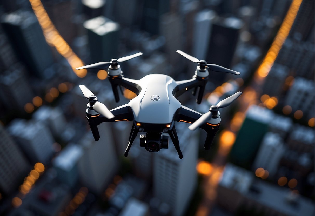
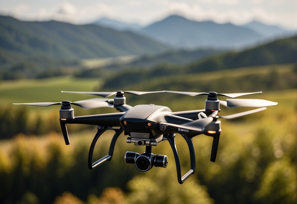
The essentials of aerial photography include state-of-the-art flying drones capable of reaching great heights and angles, and highly skilled pilots versed in navigating diverse conditions.
Additionally, these companies often offer related services like 3D modelling, thermal imaging, and video production. Their versatility and breadth of applications underscore their significant role in catering to clients across different sectors.
Aerial Photography Company – Key Takeaways
- Aerial photography companies offer high-resolution imaging from above, serving diverse industry needs.
- They utilize advanced technology and skilled pilots to ensure quality and safety.
- Services extend beyond photography, including video production, inspections, and 3D modelling.
Aerial Photography Essentials
In professional drone operations, aerial photography offers unique perspectives and captures high-quality footage. This section uncovers the core aspects to consider when delving into aerial imagery.
Understanding Aerial Photography
Aerial photography involves taking photographs from an elevated position, allowing brands to showcase their properties or services with a panoramic vantage point. It requires skill and creativity from the drone pilot to transform a mere snapshot into a piece of insightful data or striking visual content. The weather plays a pivotal role, with clear days usually offering the best conditions for capturing crisp photography.
Drone Equipment and Technology
Drone Equipment: A professional aerial photographer leverages advanced drone technology with high-resolution cameras to capture detailed images. It is expected to find drones that offer up to 0.7 in/px resolution, ensuring every aerial photo meets the highest quality standards.
- Cameras: Utilize cameras that provide 4K UHD video capabilities.
- Stability: Ensure drones have stable flight controls for precise imagery.
- Battery Life: Choose drones with ample battery life for longer shoot duration.
Technology Integration:
- Orthomosaics & Aerial Survey: Create comprehensive maps and calculate areas, volumes, and distances.
- Data Capture & Analysis: Use imagery to make informed decisions through thorough analysis.
Regulations and Certifications
Operating a drone for aerial photography requires adherence to specific regulations to ensure safety and compliance. A crucial requirement is obtaining the Part 107 certification from the FAA, which demonstrates that the drone pilot has the necessary knowledge and experience.
- Part 107 Cert: All professional drone pilots must have this certification.
- Insured Operations: Ensuring operations are insured underscores the commitment to safety and professional responsibility.
By understanding these essentials, one can appreciate the professionalism, skill, and regulatory compliance that define high-standard aerial photography services.
Services and Applications
Aerial photography companies cater to many sectors, providing customized services that align with the specific needs of each project. They combine professional expertise with advanced technology to capture high-resolution images and videos from the sky. These services are essential for commercial projects where quality and perspective are paramount.
Industry-Specific Solutions
- Residential Real Estate: Offers premium quality drone photos that capture the essence of a property, aiding real estate agents in marketing homes.
- Commercial Real Estate: Utilizes aerial photography to showcase commercial properties, aiding sales and leases with detailed imagery.
Construction and Surveying:
- Construction Progress Aerials: Monitors construction sites, providing visual work documentation over time.
- Aerial Survey and Mapping: Conducts aerial surveys that support mapping and 3D modelling for planning and documentation.
Inspections and Imaging:
- Aerial Inspections: Performs detailed surveys of structures such as rooftops, towers, and infrastructure.
- Thermal Imaging: Utilizes drones with thermal cameras to detect energy inefficiencies and other issues.
Project Execution and Delivery
Process:
- Professional drone pilots are briefed on the project specifics and carry out the aerial mission efficiently.
- Post-construction delivery includes processing of raw footage into high-resolution images and videos.
Customer Service:
- Aerial photography services emphasize customer service with a fast turnaround time.
- JCL Aerial Services and similar companies tailor their services to meet drone photo needs, ensuring client satisfaction.
Final Product:
- Videography and Video Production: Crafting compelling stories through aerial imagery for marketing and advertising purposes.
- High-Resolution Deliverables: Clients receive premium quality, high-resolution images and videos suited for various applications.